Colorado Unit 71 Hunting Information

Home » Hunting Informations » Colorado Units Hunting Information » Colorado Unit 71 Hunting Information

Overview of CO GMU 71 Hunting Facts

Located among Dolores and Montezuma counties in southwest Colorado, Unit 71 continues to draw hunters every year with its above-average success rates for mule deer and elk hunting. Aside from its success rates, Unit 71 consists of 283,000 (85%) public land, allowing much more ground for hunters to disperse. The hunting pressure tends to be high, due to the unlimited number of OTC bull tags available for 2nd & 3rd rifle seasons. However, the terrain offers several variances of skill level, providing some harder to reach areas that are suitable for getting away from the crowds. For more Colorado Unit 3 hunting information, check out the Info for Cities Near Unit 71 section on the right.

Table of Contents

CO Unit 71 Species Hunting Info

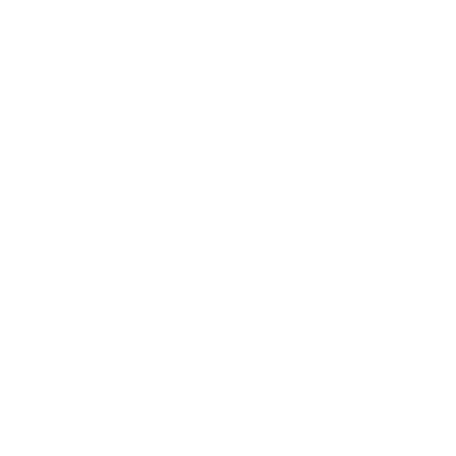
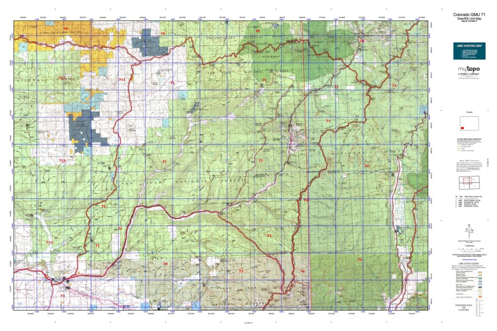
INFO: Mule Deer Hunting in Colorado Unit 71

Home to the Groundhog deer herd, this unit provides year-round sustainability for its healthy deer population. The Dolores River winds vertically through the unit, offering a core area for big game to congregate. Hunt high in the earlier seasons and move your way down to mirror the deer movements. Unit 71 offers some of the most stunning views for glassing herds. The mule deer tags drawn for this unit are for bucks only and are also valid in Unit 711. Archery and muzzleloader season tags come with the option of adding an OTC bear tag.

SUCCESS RATES for Mule Deer Hunting in Colorado Unit 71

5 Year Estimated Average for Deer
Archery 25%
Muzzle Loader 30%
2nd Rifle 45%
3rd Rifle 35%
4th Rifle 55%

Mule Deer TROPHY QUALITY for Unit 71 Colorado

Average Quality 150″ – 170″
Trophy Potential 180″+
Buck to Doe Ratio 23:100

Colorado Unit 71 Mule Deer Hunting FORUM Coming Soon!

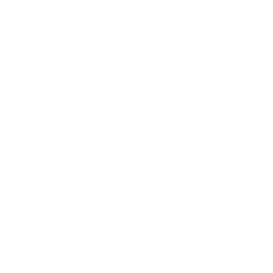
INFO: Elk Hunting in Colorado Unit 71

Unit 71 creates the perfect formula for inhabiting elk herds with its areas of rugged terrain and substantial hunting pressure. These two factors working together more or less corner the elk into the more remote areas where they can retreat from the pressure. Hunters can take advantage of the elk’s instinct to seek refuge in the nooks and crannies of the terrain. Archery and muzzleloader season elk tags are drawn for either sex and are valid in Units 71, 72, 73 & 711. Second and third rifle seasons are available for purchase over-the-counter and are for hunting a bull only. First rifle season tags are draw-only for either sex and are valid in Units 71, 72, 73, and 711. Fourth rifle season is a limited draw bull tag that is viable for Units 71, 72, 73 and 711. Cow tags are limited draw for only 2nd, 3rd and 4th rifle seasons and are legitimate solely in unit 71. An add-on OTC bear tag is available with possession of an elk tag for Unit 71.

SUCCESS RATES for Elk Hunting in Colorado Unit 71

5 Year Estimated Average for Elk
Archery 15%
Muzzle Loader 17%
1st Rifle 25%
2nd Rifle 15%
3rd Rifle 10%
4th Rifle 30%

Elk TROPHY QUALITY for Unit 71 Colorado

Average Quality 260″ – 300″
Trophy Potential 360″+
Bull to Cow Ratio 16:100

Colorado Unit 71 Elk Hunting FORUM Coming Soon!

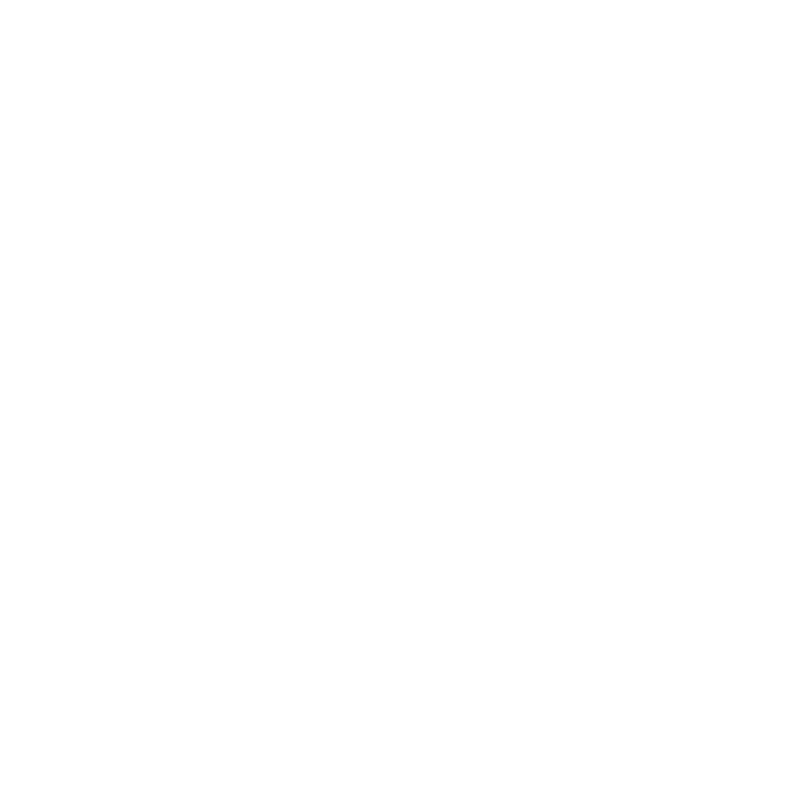
INFO: Antelope Hunting in Colorado Unit 71

Antelope can be spotted gracing the meadows in Unit 71. Archery season tags can be purchased OTC for either sex. Currently, there are no tags permitted and distributed for hunting antelope in Unit 71 during muzzleloader and rifle seasons.

Available Hunts for Colorado Unit 71

Unit 71 Hunting Information Video

iconinfo.png

Info for Cities Near CO GMU 71

lay-of-the-land-icon-.gif

Colorado Unit 71 Topo Map

Total Acreage: 333,000 acres over 520 square miles

Total Public Land: 283,000 acres or 85%

Land Ownership Mix: 15% Private; 85% Public; USFS: 281,408 acres; USFS Wilderness: 21,056 acres; State: 960 acres

Species: Black Bear, Elk, Mule Deer, Moose, Pronghorn

Elevation Variances: 7,000 ft. to 14,160 ft.

Terrain Difficulty Overall: Mild to Moderate

Land Coverage/Vegetation: 41% evergreen forest, 10% grassland and 38% deciduous forest

Unit 71 Boundaries: (Dolores, Montezuma County Colorado) bounded on North by Disappointment Creek and Dolores-San Miguel County line; on East by Dolores-San Juan County line, Montezuma-La Plata County line and Bear Creek; on South by Colorado 145; on West by United States Forest Service Road 526 (Dolores-Norwood Road)

map-icon.png

Lay of the Land in CO Unit 71

lay-of-the-land-icon-.gif

Terrain in GMU 71 CO

The terrain of Colorado Unit 71 varies from flat to more rugged terrain, from rich soil to rocky ground, and from dense forests to alpine tundra. These variations make Unit 71 a unit for all hunters, at most any physical skill levels. Hunters can access topographic maps to get an objective view of the terrain. Unit 71 is scattered with canyons, mesas, deep ravines, meadows, river bottoms and rolling hills. Be sure to scout the area you wish to hunt so that you can be confident in the terrain you are choosing. The remote areas will provide you with a more secluded hunt away from the crowds
vegetation-icon.png

Vegetation in Unit 71 CO

The vegetation in Colorado Unit 71 is a diverse blend that supplies nutrition and cover to the wildlife year-round. Along the Dolores River’s edge, you will find vegetation of the Riparian type, including giant reed grass, cottonwoods and willows. The low elevation consists of oak varieties, along with ponderosa pine forests. The middle elevation keeps its grip on ponderosa pine mixed with evergreen tree varieties, including spruces, firs and aspens. The upper altitudes are scattered with dense coniferous forests. In addition to these geographic features, Unit 71 includes meadows full of lush vegetation, surrounded by coniferous forests and snow-capped mountains.
map-directions-icons.png

Access Points in CO GMU 71

The main highway that runs through Unit 71 is SH-145 which runs along the southern border and then vertically in a northeast direction through Rico. From this highway, there are National Forest roads that allow hunters to infiltrate the hunting areas. In addition to good road access, Unit 71 has approximately 236 miles of trail with 4 trailheads. Be sure to stay UTD on what areas are permissive of motorized vehicles and in which areas they are prohibited.