New Mexico Unit 6C Hunting Information

Home » Hunting Informations » New Mexico Units Hunting Information » New Mexico Unit 6C Hunting Information

Overview of NM GMU 6C Hunting Facts

Tucked away in the northern New Mexico counties of Sandoval, Los Alamos and Santa Fe, Unit 6C is a quality-managed unit that practices quality, not quantity. The Santa Fe National Forest covers a vast majority of the unit and this unit borders Valles Caldera National Preserve, which is easily one of the most premier trophy elk hunts on public land that money can buy! Check out the Info for Cities Near Unit 6C section on the right.

Table of Contents

NM Unit 6C Species Hunting Info

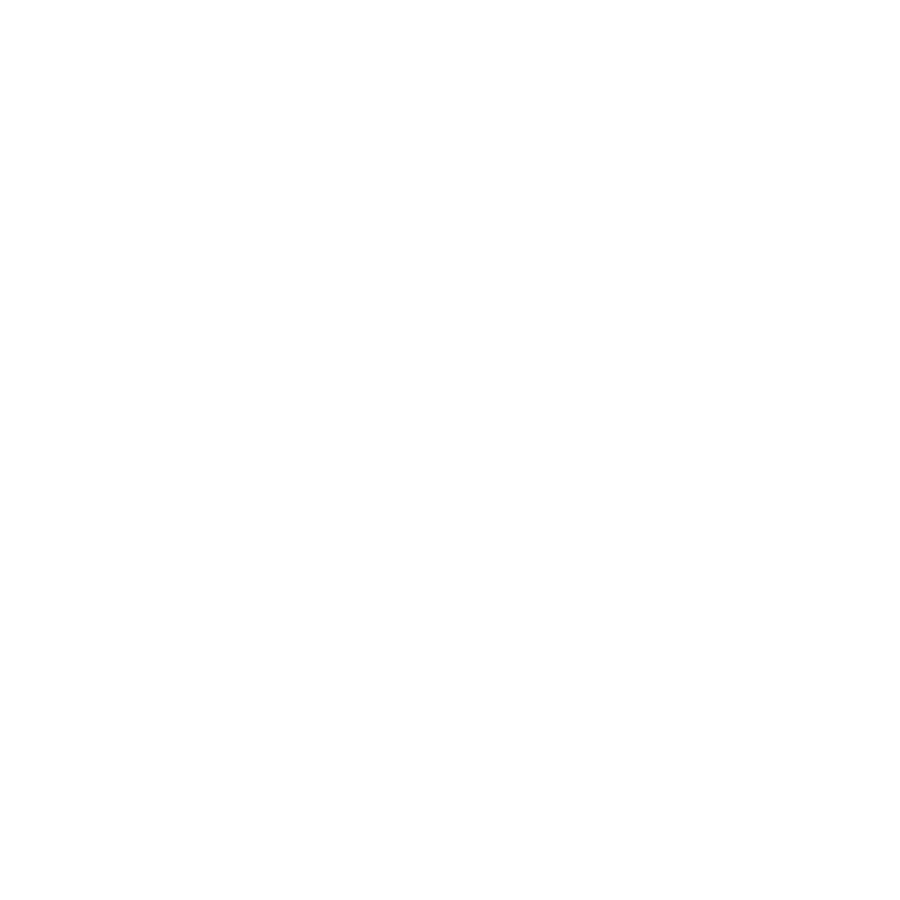
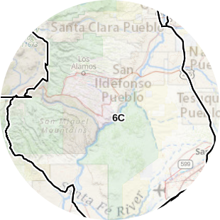
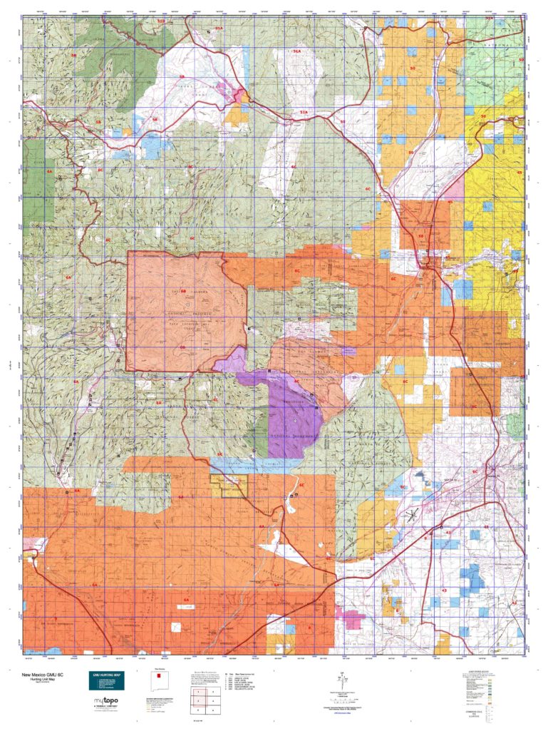
INFO: Mule Deer Hunting in New Mexico Unit 6C
If you’ve drawn a mule deer tag and are stumped on where to start when planning your mule deer hunting trip in Unit 6C, consult a topographic map. The deer are active in the higher elevations in the warmer months and begin migrating to the warmer, low elevations as the weather cools down. As you plan your hunt, consider the elevation and the time of the year, along with the weather at the time of your hunt. Deer population numbers in this unit may be lower, but the trophy quality is higher, increasing the chances that you will get a significant big buck this year!

SUCCESS RATES for Mule Deer Hunting in New Mexico Unit 6C
5 Year Estimated Average for Deer
Archery 25.00%
Muzzleloader 48.00%
Rifle 30.00%

Mule Deer TROPHY QUALITY for Unit 6C New Mexico
Average Deer Quality 140″ – 160″
Trophy Deer Potential 160″+
New Mexico Unit 6C Mule Deer Hunting FORUM Coming Soon!

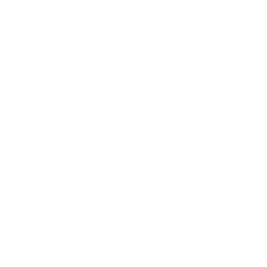
INFO: Elk Hunting in New Mexico Unit 6C
If the proximity of Unit 6C to the Valles Caldera National Preserve is not an indication of this unit’s hunting power, then I don’t know what is. Valles Caldera National Preserve is one of the most coveted elk hunting destinations in the western country. Unit 6C is bounded on three sides by the preserve, which attracts hunters every year. The elk tend to move towards the preserve as the hunting pressure increases. If possible, hike back to an isolated area away from the crowds to locate less pressured elk. Elk will seclude themselves in the remote and rugged areas. Be prepared to put some miles on the boots!
SUCCESS RATES for Elk Hunting in New Mexico Unit 6C
5 Year Estimated Average for Elk
Archery 1 25.00%
Archery 2 25.00%
Muzzleloader 28.00%
Rifle 1 35.00%
Rifle 2 25.00%
Elk TROPHY QUALITY for Unit 6C New Mexico
Average Elk Quality 260″ – 300″
Trophy Elk Potential 300″+
Bull to Cow Ratio 33:100
New Mexico Unit 6C Elk Hunting FORUM Coming Soon!

Unit 6C Hunting Information Video

iconinfo.png

Cities Near NM Unit 6C

lay-of-the-land-icon-.gif

New Mexico Unit 6C Topo Map

Total Acreage: 778,000 acres over 1,215 square miles

Total Public Land: 459,605 acres or 59%

Land Ownership Mix: 41% Private; 59% Public; US Forest Service: 350,784 acres; USFS Wilderness: 5,184 acres; BLM: 52,032 acres; State: 21,888 acres; Other Govt Owned: 213,696 acres

Species: Elk, Mule Deer, Pronghorn, Sheep

Elevation Variances: 6,500 ft. to 8,500 ft.

Terrain Difficulty Overall: Mild to Moderate

Land Coverage/Vegetation: Land cover includes 40% shrub/scrub, 36% evergreen forest and 17% grassland/herbaceous.

Unit 6C Boundaries: GMU 6C: Starting at the junction of NM 96 and Forest Road (FR) 103 east of Gallina and running south along FR 103 to its junction with FR 117, then south along FR 117 to its junction with FR 527 (Pipeline road), then east along FR 527 to its junction with the western boundary of the Valles Caldera National Preserve, then north, east, south and west along the boundary of the preserve to its junction with NM 4 and FR 280, then south along FR 280 to its junction with Forest Service Trail (FT) 1-40, then south along FT 140 to Peralta Creek, then south and east along Peralta Creek to its junction with FR 266, then south and east along FR 266 to its junction with NM 16, then south and east along NM 16 to its junction with interstate I-25, then north along I-25 to its junction with US 84 at Santa Fe, then north along US 84 to its junction with NM 96 west of Abiquiu, then west along NM 96 to its junction with FR 103.

map-icon.png

Lay of the Land in NM Unit 6C

lay-of-the-land-icon-.gif

Terrain in GMU 6C NM

Unit 6C does carry some challenges when considering the terrain. The rugged canyons of the mountain range are densely forested and require skilled hikers in some areas. However, Unit 6C has open areas with a moderately flat landscape. As mentioned above, consult your topographic map to better understand the elevations and terrain of the areas you narrow down.
vegetation-icon.png

Vegetation in GMU Unit 6C NM

Low elevations contain a blend of shrubbery species including sagebrush, oak brush, pinyon-juniper and different grass varieties. The higher altitude vegetation consists of mixed-conifer forests of spruce, fir, pine and aspen. Elk and deer will work their way down in elevation as the winter progresses and their food sources die. Their winter diet is supplied by the vegetation in the middle to lower elevation sections of the unit.
map-directions-icons.png

Access Points in NM GMU 6C

The forest service roads that wind throughout the unit provide good access for hunters. However, certain weather conditions can damage these roads, making them impassable to traffic. Four-wheel drive vehicles are recommended, as well as chains and spare tires. Be sure to carry a GPS unit to verify land ownership before entering it. Unit 6C shares borders with numerous Indian reservations, as well as other private land that may or may not have postings onsite.