

Description
Click Here to View Large Map or Order
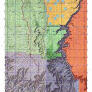
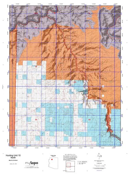
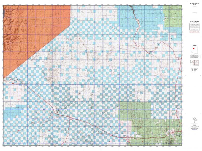
Arizona Unit 10 hunting map topo with printed boundaries
HuntersDomain has Arizona unit 10 hunt area maps that are 1:100,000-scale maps using Bureau of Land Management land status base maps.
Our UNIT 10 maps include:
Arizona public land ownership boundaries
Topographical contour lines
1:100,000 scale for easy viewing
Roads printed
Key terrain features to help you plan your hunt or trip
Hunt area or game management unit 10 (GMU 10) boundary is overlaid on the BLM base map
Easy planning for your upcoming big game hunt by defining roads and routes into the preferred area
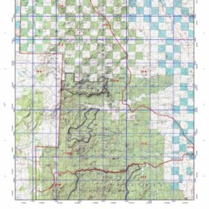
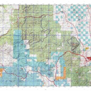
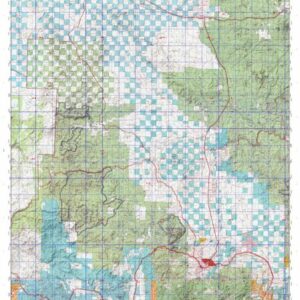
Custom maps for unit 10 are also available (See it all on one map):
Color aerial photo maps: high resolution (you define borders/boundaries)
TOPO maps only where you easily define borders or edges of maps with our online program
Hybrid maps: a unique and detailed aerial photo combined withe USGS topographical maps (user-defined boundaries)
Order your unit 10 Arizona topo map today!
The actual boundary description/definitions printed below from the Arizona Division of Wildlife hunting regulations brochure could have errors or been amended by the state so always check in their most current printed regulations or the Arizona Division of Wildlife website to verify these boundaries before hunting as these are for reference only.
Arizona Big Game
Click Here to Order Unit 10 Topo Map
Unit description
Unit 10 Beginning at the junction of Arizona Highway 64 and Interstate-40; westerly on Interstate-40 to Crookston Road (Arizona Highway 66, Exit 139); westerly on Arizona Highway 66 to the Hualapai Indian Reservation boundary; northeasterly along the reservation boundary to Grand Canyon National Park; east along the park boundary to the Havasupai Indian Reservation; easterly and southerly along the reservation boundary to where Cataract Creek enters the reservation; southeasterly along Cataract Creek in Cataract Canyon to Island Tank; easterly on the Cataract Creek-Valle Road to Airpark Road; south and east along Airpark Road to Arizona Highway 64; south on Arizona Highway 64 to Interstate-40.
Listing ID:1444
Price:$34.95 USD