Description
Click Here to View Large Map or Order
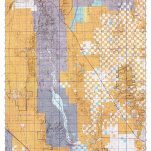
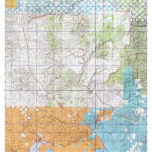
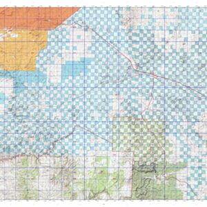
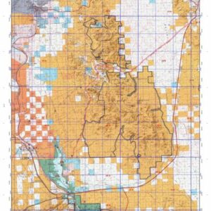
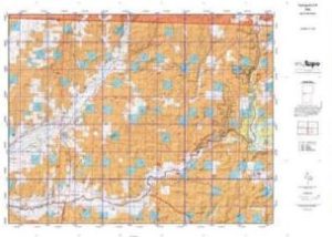
New Mexico Unit 2A hunting map topo with printed boundaries
HuntersDomain has New Mexico unit 2A hunt area maps that are 1:100,000-scale maps using Bureau of Land Management land status base maps.
Our UNIT 2A maps include:
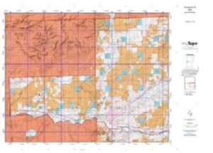
- New Mexico public land ownership boundaries
- Topographical contour lines
- 1:100,000 scale for easy viewing
- Roads printed
- Key terrain features to help you plan your hunt or trip
- Hunt area or game management unit 2A (GMU 2A) boundary is overlaid on the BLM base map
- Easy planning for your upcoming big game hunt by defining roads and routes into the preferred area
Custom maps for unit 2A are also available (See it all on one map):
- Color aerial photo maps: high resolution (you define borders/boundaries)
- TOPO maps only where you easily define borders or edges of maps with our online program
- Hybrid maps: a unique and detailed aerial photo combined withe USGS topographical maps (user-defined boundaries)
Order your unit 2A New Mexico topo map today!
The actual boundary description/definitions printed below from New Mexico Division of Wildlife hunting regulations brochure could have errors or been amended by the state so always check in their most current printed regulations or the New Mexico Division of Wildlife website to verify these boundaries before hunting as these are for reference only.
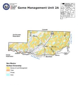
– Unit 2A Topo/Map New Mexico – Game Management Unit (GMU-2A).
Game Management Unit (GMU) That portion of GMU 2 west of the Los Pinos River (Pine Arm of Navajo Reservoir) and north of the San Juan River.
BLM Maps:
Farmington Quad and Navajo Reservoir Quad.
US Forest Service Maps:
Click Here to Order Unit 2A Topo Map